ABOUT THE GALLOWS RUN WATERSHED
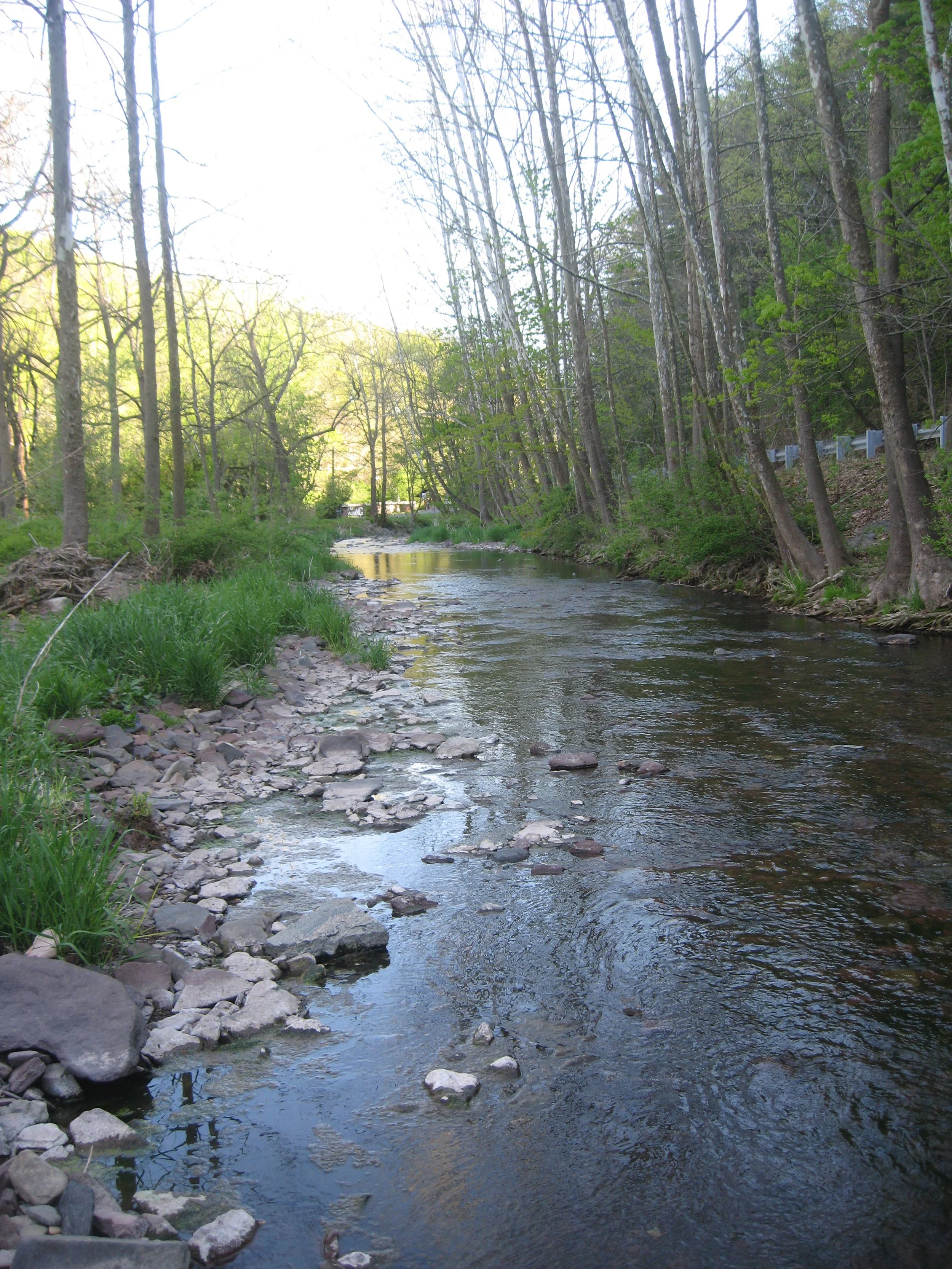
The Gallows Run watershed is located in Nockamixon, Springfield and Durham Townships in Northern Bucks County, in Southeastern Pennsylvania. The 8.87 square mile watershed is among one of the most scenic and economically important areas in the region. The seventeen miles of waterway are classified as Cold Water Fishery (CWF) by the Pennsylvania Department of Environmental Protection (PADEP). Many of the natural, cultural, historical and recreational amenities within the Gallows Run watershed are identified in a variety of studies, and are the focus of resource protection efforts. Surface and groundwater resources in the watershed are hydro-geologically connected and watershed residents obtain drinking water from on-site well protection efforts are imperative.
The Gallows Run Watershed Association successfully secured a Pennsylvania Department of Environmental Protection (PADEP) Growing Greener grant in 2003 to complete the Gallows Run Watershed Restoration and Protection Plan. The goal of the project is to complete the necessary research, fieldwork, public outreach, and scientific analysis to create a prioritized list of restoration and protection measures to maintain and improve water quality within the Gallows Run Watershed. Plan objectives are to create a restoration and protection plan based on sound scientific approaches. The final restoration and protection plan contains a weighted and prioritized list of water quality and water quantity problem areas and specific management recommendations to protect amenity areas and restore problem areas.
One of the most challenging tasks in any environmental study is to obtain adequate information and feedback from the community. Therefore, a variety of public outreach efforts were implemented to obtain input from individuals, agencies, non-profit organizations, businesses, landowners and interested individuals. A technical advisory committee assisted project consultants throughout the study.
Other measures to garner public participation included: watershed tours, one-on-one interviews, a questionnaire distributed to over 1000 people (a ten percent response rate to the questionnaire) information booths at community events, two public meetings, press releases, a newsletter devoted entirely to the project, several newsletter articles, volunteer involvement in field work, three watershed workshops, and special projects for local students.
Existing information about the watershed originated from a variety of agencies, academic sources, and completed studies. In fall 2004, the project consultants and a group of trained volunteers completed a comprehensive field assessment. The purpose of the watershed field assessment was to document water quality amenities, water quality problem areas, and problem area origins. Information was recorded, field checked and placed in Geographic Information System (GIS) format.
A protection and restoration plan resulted from public education, research, fieldwork, data analysis and GIS mapping. Each non-point source problem area site was categorized into three (3) tiers based upon the priority for restoration with tier one (1) being the highest priority for restoration and tier three (3) being the least serious.
The Gallows Run Watershed Restoration and Protection Plan contains a weighted list of water quality and water problem areas within the Gallows Run Watershed. Implementing the identified restoration and protection measures will: add protection to watershed amenities; restore impacted problem areas based on need; increase interest in a watershed protection effort, abate nonpoint source pollution, and to sustain and improve water quality. Work on securing funds and the partnerships necessary for plan implementation has already started.
Years of pro-active state, regional and local planning and management efforts identified a variety of significant natural, historical, cultural, recreational, and economic amenities (e.g., high quality surface and groundwater, healthy aquatic ecosystems, threatened and endangered species, historic structures and villages, pre-Columbian archeological sites, scenic vistas, preserved open space, parks, and trails) in the Gallows Run Watershed.
The Gallows Run is a Cold Water Fishery (CWF) as classified by the Pennsylvania Department of Environmental Protection (PADEP). Maintaining and enhancing HQ water quality through nonpoint source protection efforts is especially important to the citizens of the Gallows Run Watershed as surface and groundwater resources are hydro-geologically connected, and groundwater is presently the only source of drinking water in the community.
History
Gallows Run was sometimes referred to as Gallows Hill Run. The lower portion was also sometimes referred as Kintnersville Creek. The mouth of Gallows Run empties into the Delaware adjacent to an island in some old sources named Laughreys Island, today referred to it as Lynn Island.. A deed for the Durham Iron Works of 10 February 1727 names the stream Pereletakon, seemingly referring to a Lenape name. William J. Buck was the first to attempt an explanation for the name Gallows Hill and Gallows Run as the finding the body of a man who committed suicide by hanging on Gallows Hill, but that was disputed by Warren S. Ely, Librarian for the Bucks County Historical Society, by stating that it was that Edward Marshall, one of the runners of the Walking Purchase broke his gallowses (trouser braces) when he jumped across the creek, so, he hung his gallowses on a tree branch at the run, hence the name "Gallows Run". Marshall refers to the point where he left Durham in his deposition of 1757 as Gallows Hill..
Near the mouth of Gallows Run was the site of a Lenape village known as Pechoqueolin, one of the largest native villages in Bucks County discovered by John A. Ruth noted in a paper read to the Bucks County Historical Society on 27 July 1886. This was the largest Indian town in Bucks County, based on the vast number of Native American relics discovered at the aboriginal site. Located just below the Durham Township border at the Gallows Run’s mouth on the Delaware River, Pechoqueolini translates as “at a gap through the mountains.” High cliffs on both sides of the river exist in the area.
Among the artifacts found by archaeologists are polishing stones, grooved axes, celts, knives, pestles, hoes, drills, ceremonial hatchets, pottery fragments and amulets. Here is link to UPenn’s collection of artifacts collected from what is now the Gallows Run:
https://www.penn.museum/collections/search.php?term=Pechoqueolin&submit_term=Submit
The artifacts are included in Fulfilling a Prophecy: The Past and Present of the Lenape in Pennsylvania
Currently on exhibit at the Lenape Cultural Center in Easton. https://www.lenape-nation.org/cultural-center
Grasshopper War
Pechoqueolin was also home of the legendary Grasshopper War. Long, long ago, the people of the two villages across the Delaware River from each other liked to visit back and forth whenever they could. The men of the villages would hunt together, the women of the villages would work together, and the children of the villages would play together.
One day, as the children were playing together, a boy from the village across the river saw a streak of green in the grass and, following it, eventually caught the largest grasshopper he had ever seen. Soon a group of the other children gathered around him. They all agreed that it was the largest grasshopper they had ever seen.
But one of the boys from the first village grew envious. Why shouldn’t he have that large grasshopper? After all, it was found on his village territory! So, he snatched the grasshopper from the other boy and this set off a fight, like a chain reaction, a free-for-all began between the children of the two villages.
Hearing the screams of the children, the village women rushed from the fields and lodges where they were working. Seeing their children attacking one another, they began defending their children. Soon they too were pummeling one another and pulling hair.
When the men returned from the day’s hunt, they found their women and children huddled all around; injured, bleeding and worn out from the prolonged fight. None of them could recall any longer why the fight had taken place, and only reported being attacked by the members of the other village. Anger then grew between the men, and the village chiefs swore vengeance on the opposing village and the friendly exchanges between the villages ceased.
It was many seasons later that the truth was discovered. What had begun as child’s play and a jealous argument grew into a needless fight and unnecessary years of discontent between the two villages. Friendships were lost and much unfounded anger was exchanged. This fight is remembered in Lenapé tribal histories as “The Grasshopper War”.